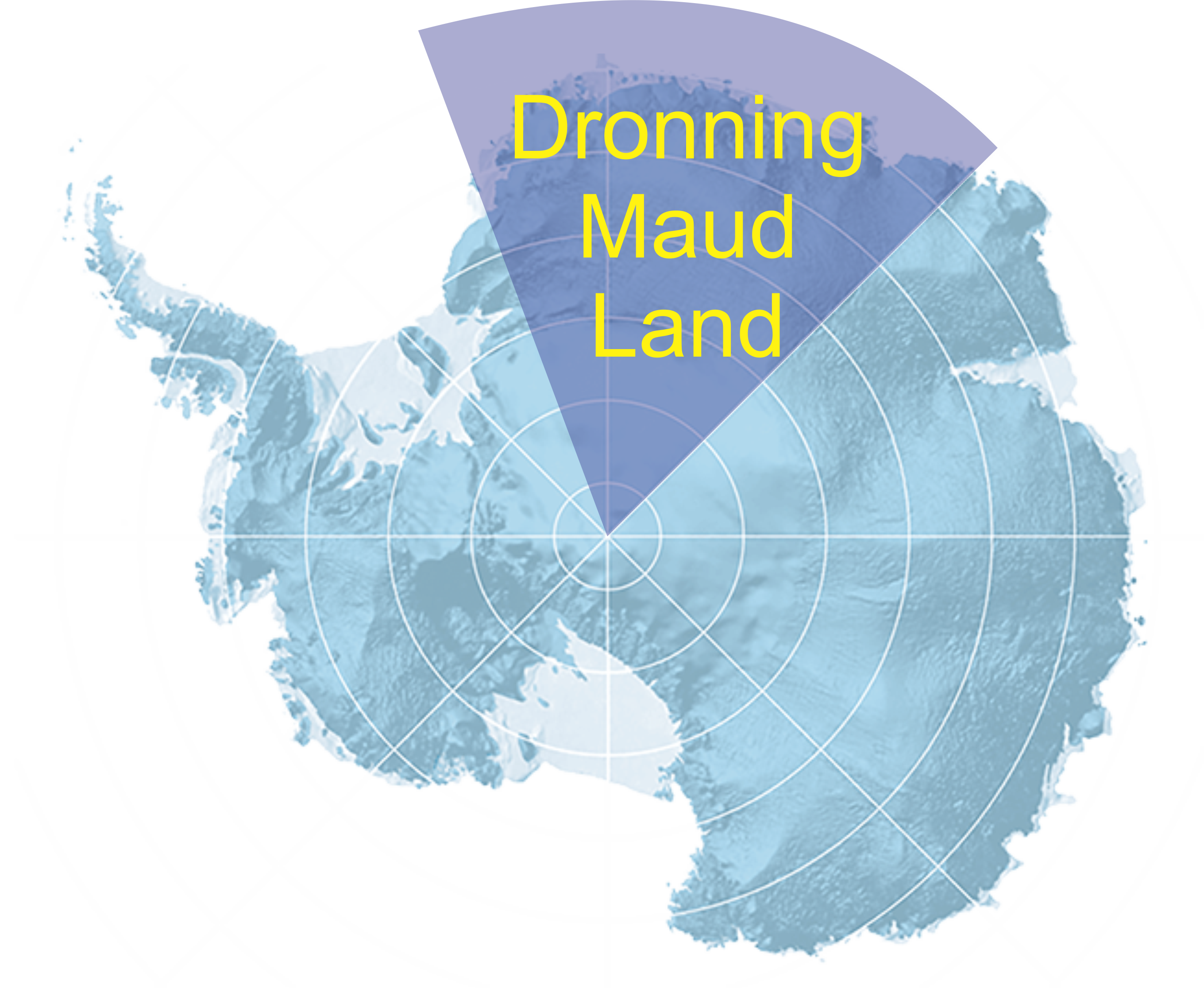
Geological map compilation of Dronning Maud Land
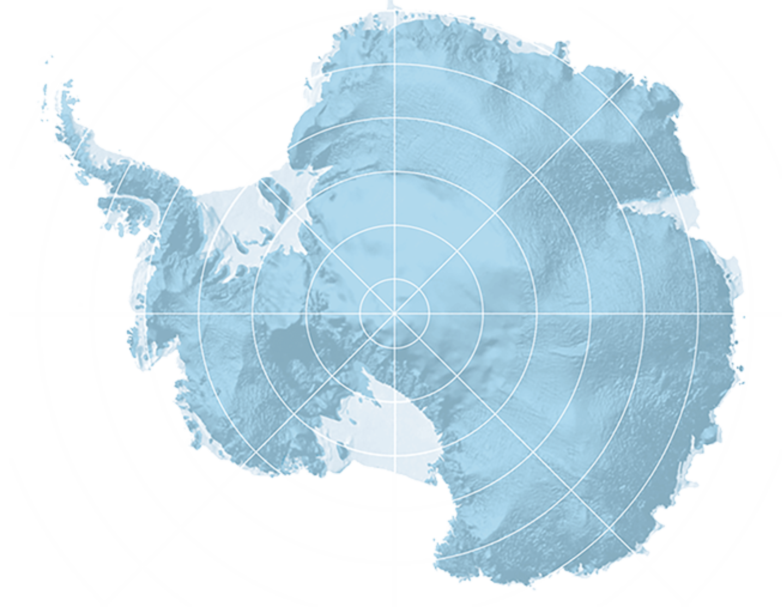
Geological mapping and investigation of the mountain chain in Dronning Maud Land has been carried out by a number of geologists from South Africa, Japan, India, Germany, Russia and Norway over the last 40-50 years. The existing geological maps of Dronning Maud Land are, for a large part, based on fairly old data which makes these maps inhomogeneous. The maps are at different scales, contain different levels of details, and the standards for classification of the rock units may also differ between the maps. This limits the ability to use these map to draw an overview tectonic model of the evolution of Dronning Maud Land. This limitation is extended to understanding the evolution of the southern parts of the Gondwana supercontinent since the Dronning Maud Land is the southern geographical link between South Africa, Australia and Indian subcontinent. Moreover, the existing topographic dataset from Dronning Maud Land is based on fairly old topographic maps (1960s), and there is a discrepancy between the topographic dataset and the more recent Landsat images. As a result of the discrepancy between these datasets, some of the outcrops are not mapped at all. For all these reasons, a new geological map of the Dronning Maud Land, for the area between 20o W and 45o E, was compiled to the scale 1:250 000 (11 sheets) at the Norwegian Polar Institute but in collaboration with other national and international institutes. The goal was to integrate existing maps into a new seamless, digital uniform geological GIS database. This new geological map is a descriptive map based on the new topographic dataset of the Landsat 8.
To access the current version of the compiled map please click here